Aerial Photo to Land-Cover Map
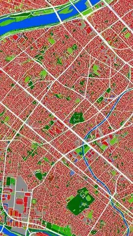
This prompt converts a reference aerial photograph into a false-color land-cover classification map for urban analysis or map-style visualization.
Prompt text
Original English text. Replace placeholders with your own details.
Source & attribution
まぬある · Awesome GPT Image 2
Source-listed license: CC-BY-4.0. Prompt text is preserved; titles and previews may be shortened for display. Source examples are not NexGateHub test results.